
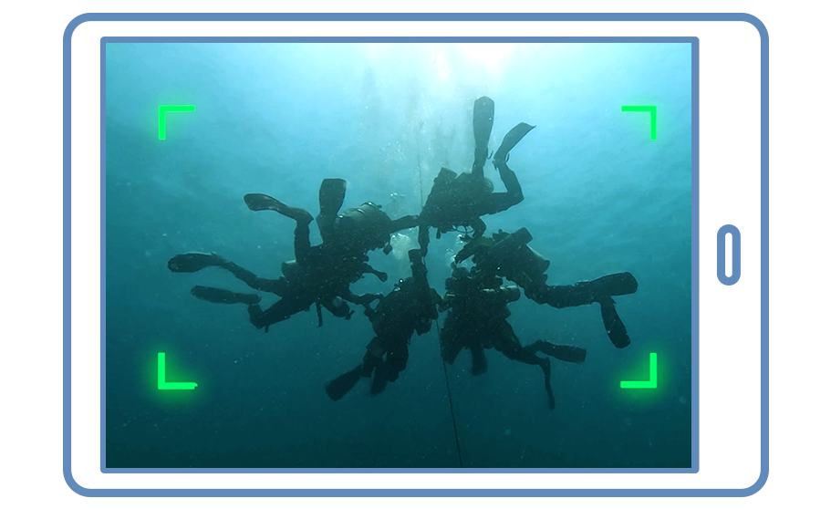
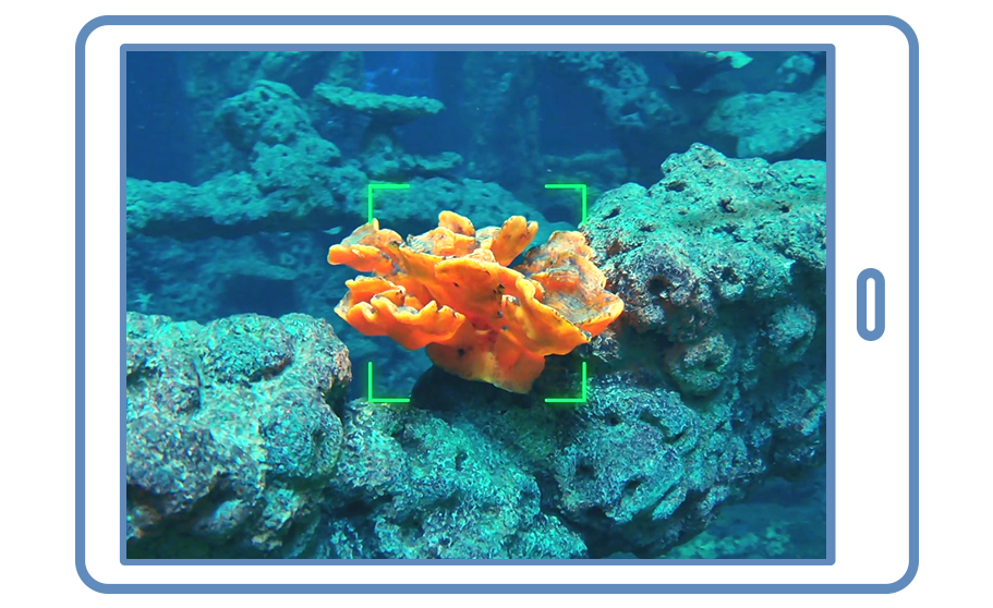


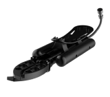


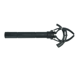


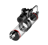


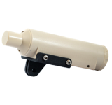


Terrain Data Collection
QY-BT, powered by QYSEA's Q-DVL sonar module and subsea path planning, automates precise underwater inspections for diverse mapping needs. It logs terrain and depth data during operations, greatly improving spatial data collection efficiency.

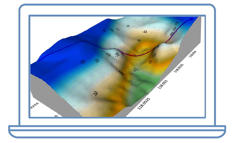
Multidimensional Data Display
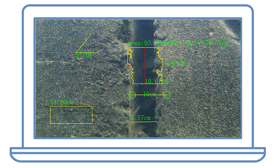
QY-BT generates 2D/3D terrain maps by processing spatial data in its software tools. Users can customize depth colors, contour lines, and annotations, enabling better evaluation and decision-making for various applications.

One-Click Capacity Calculation
With one-click, the QY-BT system calculates waterbody metrics like volume, capacity, and area by processing spatial data. This feature streamlines traditional aquatic surveying with unmatched efficiency and precision.


QY-BT supports importing spatial terrain data into its software tools to generate 2D terrain maps. Users can customize depth color codes and contour line details to suit specific operational needs.

—————————————————————————————————————————————————————————————————————————————————————————————————————————


