Why Choose QY-BT?

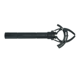
QY-BT is the world’s first AI Depth Mapping System for underwater robots. Combining in QYSEA’s proprietary Q-DVL sonar module, custom depth algorithms, and auto path movement functionality, QY-BT provides an all-in-one intelligent mapping solution for diverse underwater terrains.

·

·

·

Trial Application: Before starting your trial application, please ensure you own a FIFISH underwater robot and confirm the specific model with our staff. Once confirmed, please complete the form below and submit it. After system review, an activation code will be sent to you via email. The trial license period will be subject to the official email. Each user is limited to one application, and batch applications are prohibited. Each trial license can only be bound to one PC device and cannot be unbound during the trial period. Please activate the code within three days of receipt, or it will expire.


Elevated Precision, Efficiency,
Convenience, and Safety

One-Stop Solution for Underwater Mapping
Intelligent Path Planning

Powered by QYSEA's proprietary Q-DVL sensor and underwater inertial navigation system, QY-BT enables path planning for auto cruising, defines terrain scanning routes for the desired operational area, and efficiently collects spatial terrain data with speed and ease.

Depth Color & Contour Line Display

QY-BT supports importing spatial terrain data into its software tools to generate 2D terrain maps. Users can customize depth color codes and contour line details to suit specific operational needs.

Customizable 2D & 3D Terrain Maps

QY-BT supports importing spatial terrain data into its software tools to generate 2D terrain maps. Users can customize depth color codes and contour line details to suit specific operational needs.

2D Terrain Map
3D Terrain Map
Multidimensional Combined
Terrain Map


One-Click Calculation

QY-BT integrates collected spatial terrain data with advanced algorithms to calculate

water volume, net capacity, and area with a single click.

Application Scenarios

Bridge Inspections

Hydropower & Water Resource Inspections

Jacket Structure, Electrical, & Pipeline Inspections

Ecological & Environmental Surveys

—————————————————————————————————————————————————————————————————————————————————————————————————————————
Access Free Trial

You can leave your contact information to apply for a trial of the QY-BT Bathymetric Mapping System or inquire about related purchases.


Submit Inquiry
Frequently Asked Questions (FAQ)
How difficult is it to use the QY-BT Mapping System?
A: The QY-BT system features a simple and intuitive interface, making it easy to learn. With 1-2 hours of practice, users can operate it effortlessly.
What models are compatible with QY-BT?
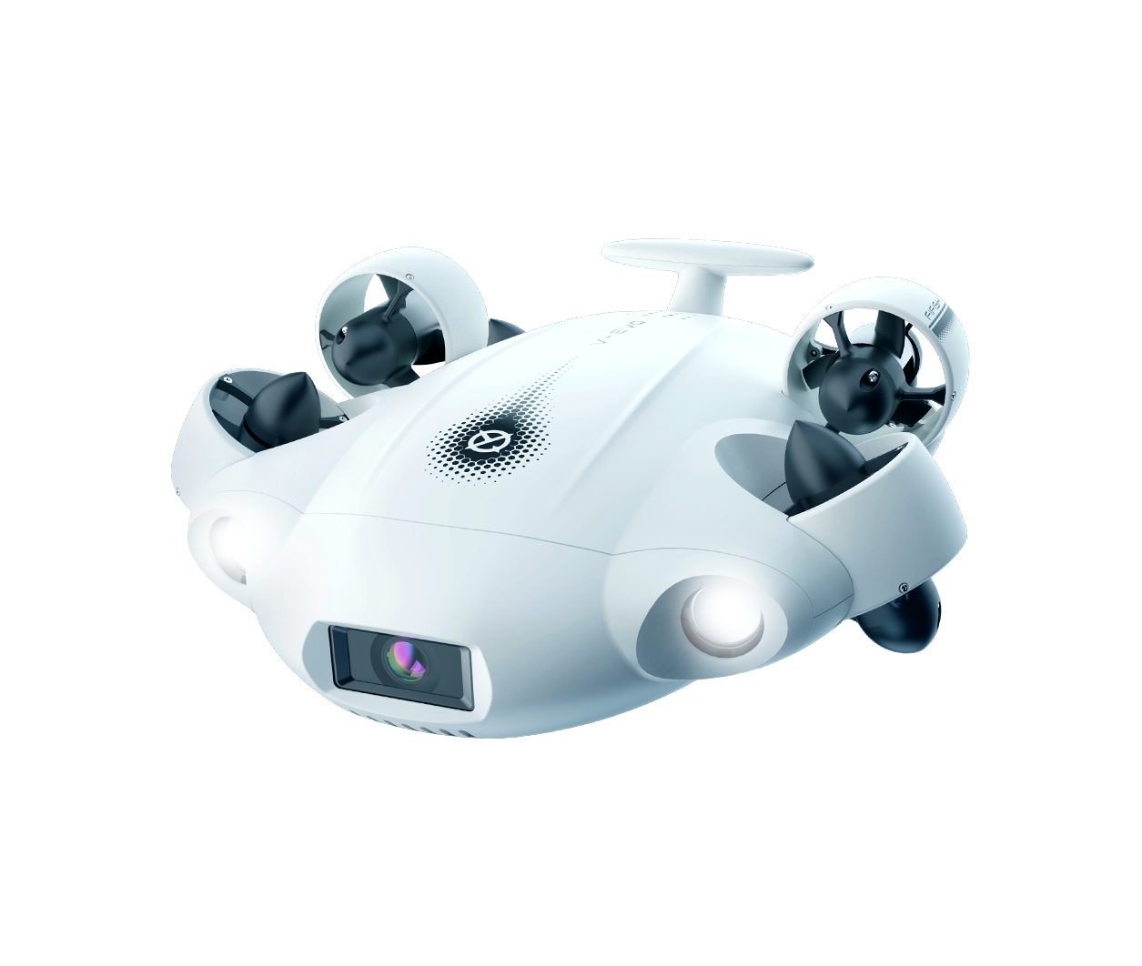
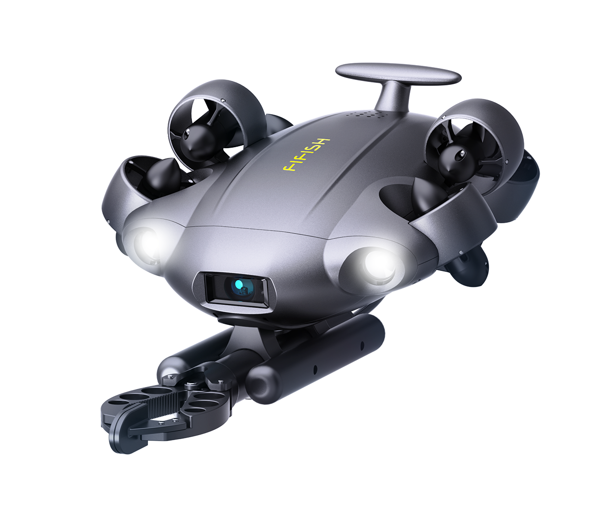
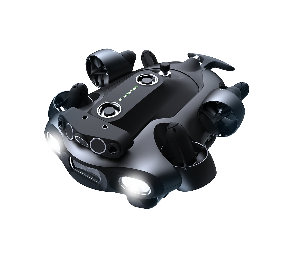
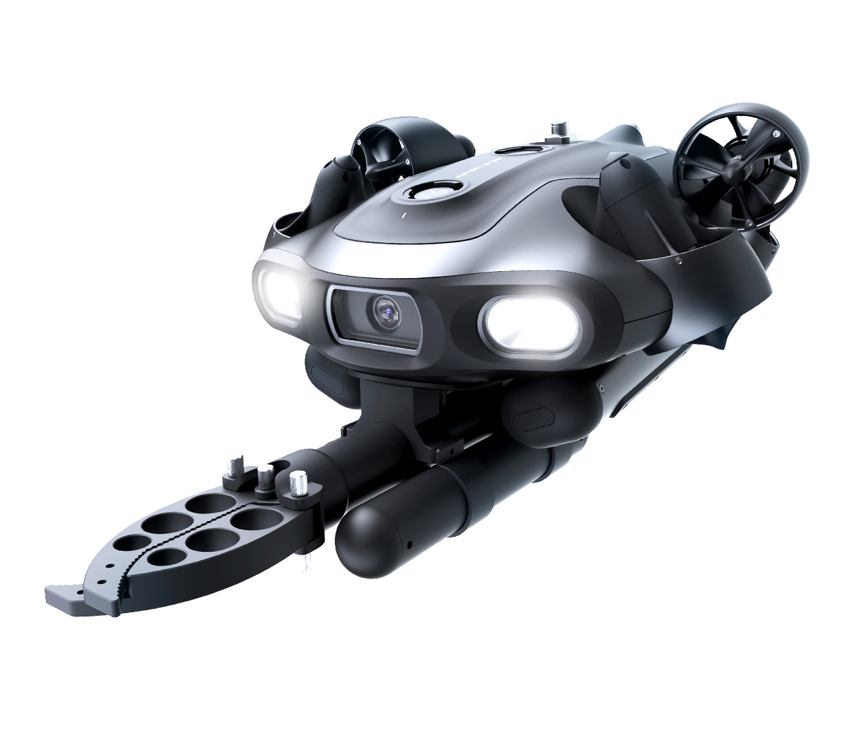
Currently, it supports FIFISH W6, E-GO, and E-Master models, all requiring the Q-DVL sonar module. For additional model support, please contact customer service.
What software and hardware tools are compatible with QY-BT?
QY-BT is compatible with the U-INS underwater navigation system, 2D imaging sonar, and Q-DVL sonar module. For further tool compatibility, please contact customer service.
Does QY-BT support mobile devices?
Basic operations are supported on both Windows 10+ (64-bit) PCs and mobile devices. For advanced data calculations and high-precision displays, use a PC.
—————————————————————————————————————————————————————————————————————————————————————————————————————————
快速仿站
Become a partner
Please fill in your contact details,and our team whill
be in touch with you shortly ,Thank you!
Continue
1 3 2 4

微信不允许下载文件和本地应用调用,
请点击右上角图标,
请选择 “在浏览器打开”

快速仿站